Skip to content
Field and Maple Vintage
{"title"=>"Account", "addresses"=>"Addresses", "orders"=>"Orders"}
Shopping Cart 0
Close Back
  • New Arrivals
  • Art & Wall Decor
    • Art & Prints
    • Maps
    • Pennants
  • Books and Paper
    • Books
      • Shop All Books
      • Children's Books
      • Cookbooks
      • Fiction & Literature
      • Field Guides & Manuals
      • History & Reference Books
      • Mid Century Paperbacks
      • Travel Guidebooks
    • Paper & Ephemera
  • Collectibles
    • Cameras, Radios & Tech
    • Toys & Games
    • Travel Souvenirs
  • Home & Lifestyle
    • Accessories
    • Ceramics & Glass
    • Home Accents
    • Linens & Blankets
    • Tools & Industrial
  • Holiday
    Close
    Your cart is currently empty.
    0
    Continue browsing

    Total: $0.00

    Taxes and shipping calculated at checkout
    View Cart
    Close
    Vintage 1979 Snohomish River Basin Map Set
    Vintage 1979 Snohomish River Basin Map Set
    Vintage 1979 Snohomish River Basin Map Set
    Vintage 1979 Snohomish River Basin Map Set
    Vintage 1979 Snohomish River Basin Map Set
    Vintage 1979 Snohomish River Basin Map Set
    Vintage 1979 Snohomish River Basin Map Set
    Vintage 1979 Snohomish River Basin Map Set
    Vintage 1979 Snohomish River Basin Map Set
    Vintage 1979 Snohomish River Basin Map Set
    Vintage 1979 Snohomish River Basin Map Set
    Vintage 1979 Snohomish River Basin Map Set

    Vintage 1979 Snohomish River Basin Map Set

    Price: $48.00

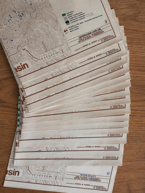
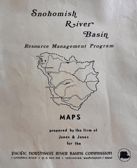
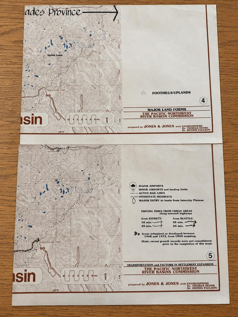
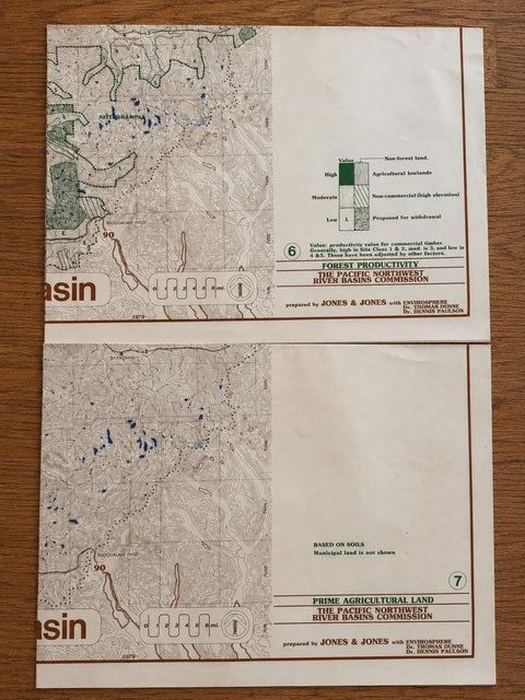
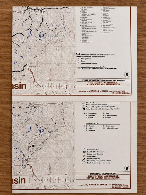
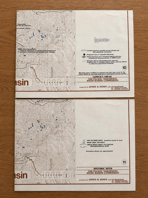
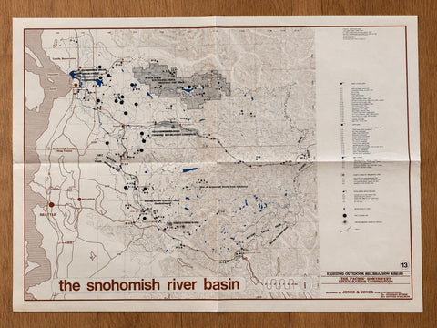
    A rare vintage set of 1979 Snohomish River Basin Resource Management Program maps, prepared by Jones & Jones with Envirosphere for the Pacific Northwest River Basins Commission in Vancouver, Washington.

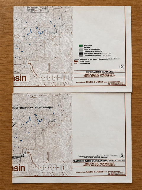
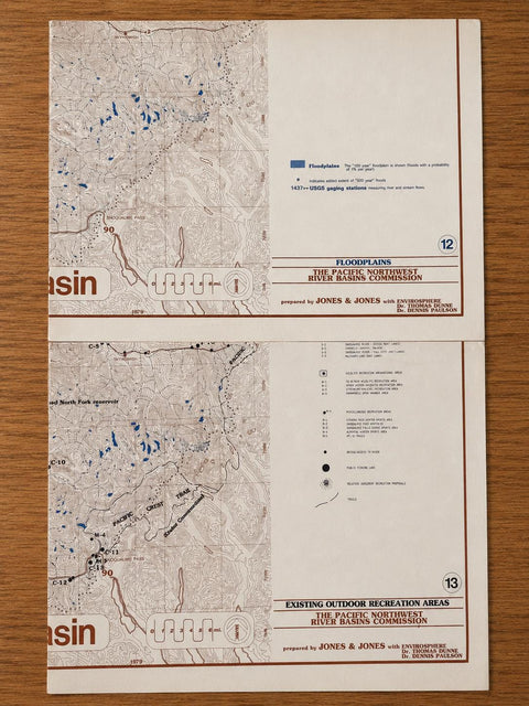
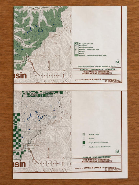
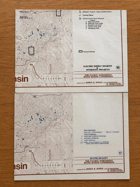
    This set includes maps 2 through 17, covering land use, natural resources, transportation, recreation, floodplains, forest ownership, water quality, and other planning themes for the Snohomish River Basin in Washington State. Each sheet features detailed topographic base mapping with thematic overlays and a clean 1970s environmental planning design.

    Included maps:

    Generalized Land Use
    Features with Outstanding Public Value
    Major Land Forms
    Transportation and Factors in Settlement Expansion
    Forest Productivity
    Prime Agricultural Land
    Fish Resources of Rivers and Streams
    Mineral Resources
    Conflict Areas
    Historic Sites
    Floodplains
    Existing Outdoor Recreation Areas
    Generalized Habitat Regions
    Forest Land Ownership
    Electric Energy Sources & Hydraulic Projects
    Water Quality

    A wonderful set for collectors of vintage maps, Pacific Northwest history, environmental planning, watershed management, forestry, land use studies, or regional cartography.

    Condition
    Vintage paper maps with visible age, fold lines, handling wear, creasing, and light edge wear throughout. Some sheets show wrinkles or small bends from storage. Please review all photos carefully, as they are part of the description.

    Details
    Date: 1979
    Location: Snohomish River Basin, Washington
    Publisher/commission: Pacific Northwest River Basins Commission
    Prepared by: Jones & Jones with Envirosphere
    Set includes: Maps 2–17
    Subject: watershed planning, land use, natural resources, recreation, forests, water quality, transportation, floodplains

    Etsy tags
    vintage map, Snohomish map, river basin map, Washington map, PNW map, topo map, land use map, forestry map, watershed map, 1979 map, planning map, cartography, map collection

    Share
    Share on Facebook X (Twitter) Pinterest
    ×
    Field & Maple Vintage
    Home About Contact
    Customer Service
    Privacy Policy Shipping & Returns
    Follow us
    FacebookInstagramPinterest
    Copyright © 2026 Field and Maple Vintage
    A Little Vintage in Your Inbox

    Discover new vintage finds, Field Notes, and occasional special offers. 

    Sign up and enjoy 15% off your first order.