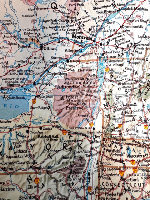
National Geographic Map of Vacationlands of the United States and Southern Canada | 1966 Folded Map
Price:
$16.00
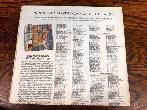
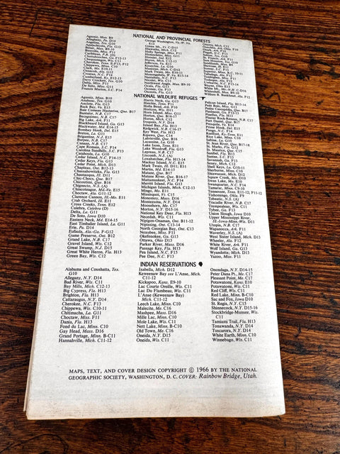
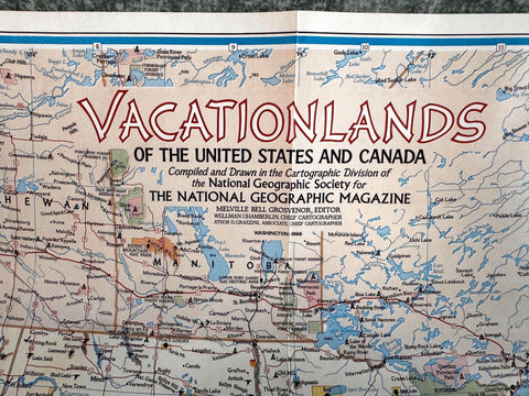
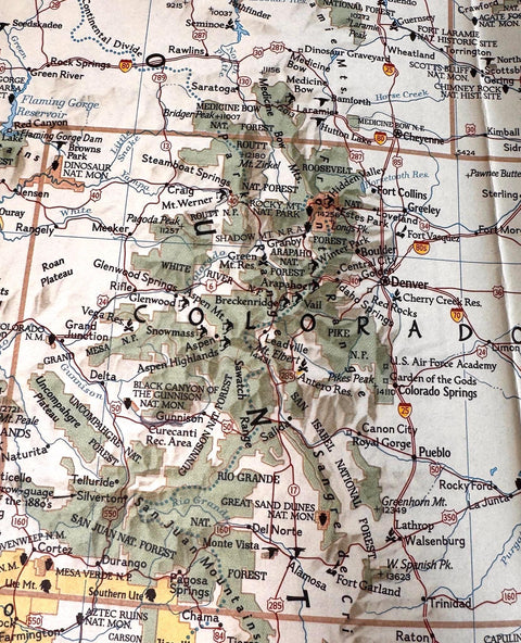
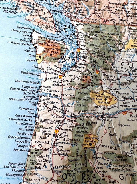
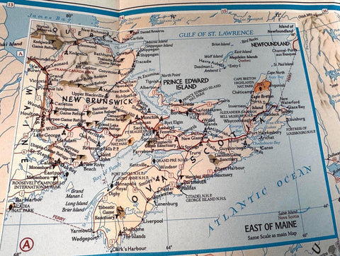
Explore the scenic and diverse vacation destinations across the United States and southern Canada with this vintage 1966 National Geographic folded map. Featuring detailed cartography by Melville Bell Grosvenor, Wellman Chamberlin, and Athos D. Grazzini, this map highlights national and provincial forests, wildlife refuges, and Indian reservations, making it a valuable resource for travelers and collectors alike.
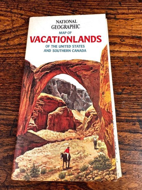
The cover showcases an evocative illustration of Rainbow Bridge, Utah, inviting you to journey through some of North America's most treasured natural landscapes. This map was carefully compiled and drawn by the National Geographic Society, renowned for their commitment to accuracy and quality in cartography.
Ideal for framing, study, or travel planning, this map offers a nostalgic glimpse into mid-20th century vacationlands. Its foldable format makes it practical for use on the go, while its vintage charm adds character to any collection or display.
Details:
Published by National Geographic Society in 1966
Cover illustration depicts Rainbow Bridge, Utah
Includes national and provincial forests, wildlife refuges, and Indian reservations
Folded map format suitable for travel or display
Cartography by Melville Bell Grosvenor, Wellman Chamberlin, and Athos D. Grazzini
Condition:
Used vintage condition with some wear and light creasing on folds
Cover shows minor discoloration and edge wear
Map surface intact with no major tears or stains