
Skip to content
Field and Maple Vintage
{"title"=>"Account", "addresses"=>"Addresses", "orders"=>"Orders"}
Shopping Cart 0
Close Back
  • New Arrivals
  • Art & Wall Decor
    • Art & Prints
    • Maps
    • Pennants
  • Books and Paper
    • Books
      • Shop All Books
      • Children's Books
      • Cookbooks
      • Fiction & Literature
      • Field Guides & Manuals
      • History & Reference Books
      • Mid Century Paperbacks
      • Travel Guidebooks
    • Paper & Ephemera
  • Collectibles
    • Cameras, Radios & Tech
    • Toys & Games
    • Travel Souvenirs
  • Home & Lifestyle
    • Accessories
    • Ceramics & Glass
    • Home Accents
    • Linens & Blankets
    • Tools & Industrial
  • Holiday
    Close
    Your cart is currently empty.
    0
    Continue browsing

    Total: $0.00

    Taxes and shipping calculated at checkout
    View Cart
    Close
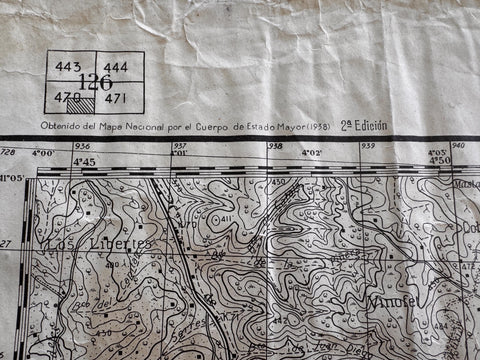
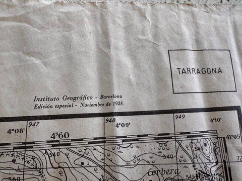
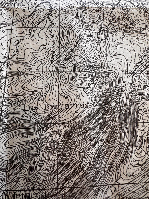
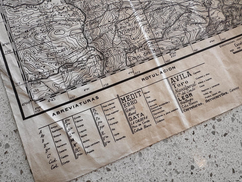
    Gandesa 1938 Military Topographic Map of Spain
    Gandesa 1938 Military Topographic Map of Spain
    Gandesa 1938 Military Topographic Map of Spain
    Gandesa 1938 Military Topographic Map of Spain
    Gandesa 1938 Military Topographic Map of Spain
    Gandesa 1938 Military Topographic Map of Spain
    Gandesa 1938 Military Topographic Map of Spain
    Gandesa 1938 Military Topographic Map of Spain
    Gandesa 1938 Military Topographic Map of Spain
    Gandesa 1938 Military Topographic Map of Spain

    Gandesa 1938 Military Topographic Map of Spain

    Price: $198.00

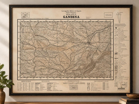
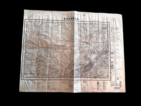
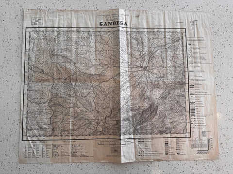
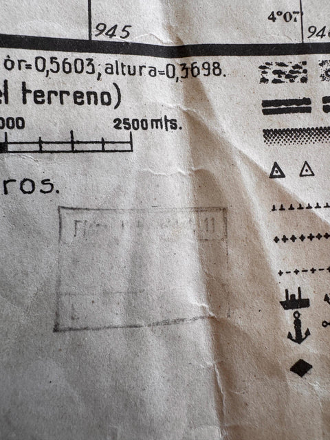
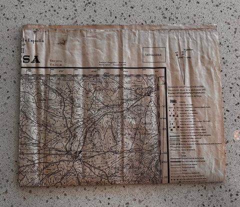
    Explore a piece of history with this 1938 military topographic map of Gandesa, created by National Maps. This detailed map offers a fascinating glimpse into the terrain and strategic layout of the area during a significant period in Spanish history.

    Printed on durable paper, the map features contour lines and geographic details that highlight the natural and man-made features of the region. Its vintage character and historical value make it a unique addition for collectors, historians, or anyone interested in cartography and military history.

    This map is ideal for display or study, capturing the essence of the landscape as it was in 1938. Whether framed for wall decor or kept as a collectible, it offers both aesthetic appeal and educational insight into the geography of Gandesa.

    Details:
    Produced by National Maps in 1938
    Military topographic map showing detailed terrain and features
    Printed on paper with contour lines and geographic annotations
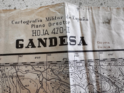
    Map sheet labeled as Hoja 470-II
    Second Edition — One of 500 Printed
    Includes scale and legend for reference
    Historical cartography from Spain

    Condition:
    Used vintage condition with visible folds and creases
    Some light wear and minor discoloration consistent with age
    No major tears or missing sections observed

    Share
    Share on Facebook X (Twitter) Pinterest
    ×
    Field & Maple Vintage
    Home About Contact
    Customer Service
    Privacy Policy Shipping & Returns
    Follow us
    FacebookInstagramPinterest
    Copyright © 2026 Field and Maple Vintage
    A Little Vintage in Your Inbox

    Discover new vintage finds, Field Notes, and occasional special offers. 

    Sign up and enjoy 15% off your first order.